The Environmental Journal of Southern Appalachia

The Appalachian Voice: Critter corridors aspire to provide Safe Passage for roaming mountain wildlife

Written by

 bears by road
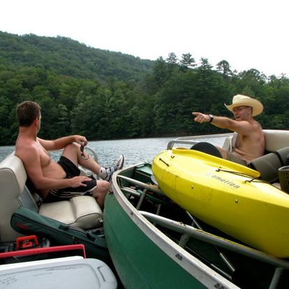
Bears stand by a roadside guardrail.  Bridget Donaldson, Virginia Transportation Research Council

Safe Passage initiative calls for wildlife and human protections along mountain highways

Hellbender Press is proud to republish this story as part of our partnership with Boone-based The Appalachian Voice.
 

Jean Loveday is driving her husband, Tom, home from a doctor’s appointment in Johnson City, Tennessee. Their Toyota pickup truck is winding along Interstate 26, not far from the North Carolina state line north of Asheville.

Suddenly Loveday sees something black tumbling down the mountain and out into the highway in her peripheral view. “Oh no, Tom, oh no!” she mumbles. Loveday realizes it’s a bear cub hurtling toward them. She attempts to avoid hitting it by steering into the median, but vehicle and animal seem destined to collide.

“It all happened so fast,” she says today. “I don’t know where its mother was, whether the cub was following her or on its own. We stopped. It moved for a few minutes, and then was still. All I could think for days was, ‘I killed a bear cub!’ I hope I never, ever have to go through that again.”

Loveday is overwhelmed with emotion as she relates this sad memory, one shared by many motorists in the Southern Appalachians.

“I don’t care where you are on the political spectrum, no one wants to hit an animal with their vehicle,” says Jeff Hunter, senior program manager for National Parks Conservation Association, an organization devoted to protecting and enhancing the national parks system for future generations.

In early 2017, Hunter convened a group of people who were concerned about the rising numbers of bear, deer and elk being hit on another highway that straddles the Tennessee–North Carolina border—Interstate 40 near Great Smoky Mountains National Park. Some years have seen as many as 70 road-killed bears in this curvy 28-mile section of road alone, and elk reintroduced to the park in 2001 are now crossing the highway to expand their range. 

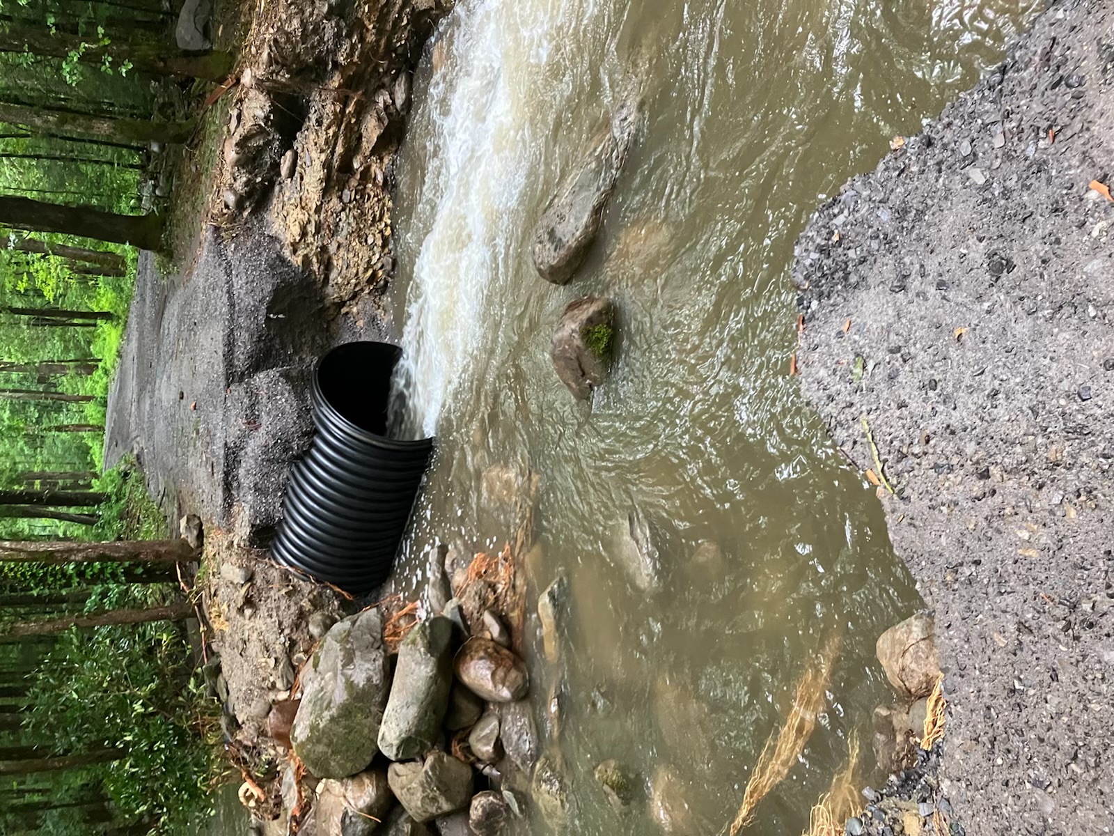
“Human infrastructure is making it increasingly difficult for wildlife to follow their natural patterns of movement across the landscape,” says Hugh Irwin, a landscape conservation planner with The Wilderness Society who raised concerns back in the 1990s about I-40 being a barrier to wildlife movement. “Historically too little thought and planning has gone into wildlife needs, and our current infrastructure fails to provide for wildlife passage.”

Passionate discussions led to action, and soon more than 80 individuals from nearly 20 federal, state, Tribal, and non-governmental organizations were collaborating to make this section of roadway more permeable for wildlife and safer for people. 

Roadkill’s “Pernicious Twin”

The intersection of roads and wildlife is a safety issue that is not unique to North Carolina and Tennessee. According to the Federal Highway Administration, an estimated two million large mammals are killed on roads in the United States each year, resulting in more than 26,000 human injuries and at least 200 human fatalities.

For years, road ecologists around the world have been working to mitigate highways that were originally designed without consideration for wildlife. Europe, Canada, Mexico, and many U.S. states have already created effective wildlife road crossings. Recent articles and videos featuring large wildlife overpasses in Utah and Texas have been shared widely on social media.

Senior Research Ecologist Marcel Huijser (pronounced ‘Houser’) with the Western Transportation Institute at Montana State University in Bozeman has contributed to road ecology studies for more than two decades. He cites three main reasons why people care about this issue: the desire for wildlife conservation, concern for human safety, and economics. “No matter who you are, where you live, or what you do for a living, you’re going to care about at least one of these,” he says.

On November 26, 2019, The Atlantic ran an auspicious road ecology article by Ben Goldfarb titled “How Roadkill Became an Environmental Disaster.” Focusing on the giant anteaters of Brazil, whose range is—you guessed it—bisected by a huge highway, the epic, riveting story introduces readers to Evelyn the anteater and a cast of road-weary researchers. One particular Goldfarb quote became the motto for researchers assessing wildlife movement and mortality in the Pigeon River Gorge: “Collisions may be road ecology’s most obvious concern, but fragmentation is roadkill’s pernicious twin.”

Conservationists point out the gravity of individual animals being killed on roads. But when they no longer try to cross, it can signal an even more dire situation.

“When wildlife finally stops even trying to cross, the highway has become a barrier,” says Hunter. “The ‘barrier effect’ is not to be confused with the concrete Jersey barriers that prevent many individual crossings. When a whole population stops crossing the road, that means their habitat is now fragmented, preventing the healthy genetic exchange that species need to thrive.”

Ron Sutherland works to restore, reconnect and re-establish wildlife corridors that have been fragmented throughout the eastern United States in his role as chief scientist with Wildlands Network, the organization that kicked off discussions about mitigation to I-40 in 2015. He defines habitat connectivity as the degree to which organisms are able to move freely across the landscape.

“Habitat connectivity can be very high, such as in a remote and intact wilderness,” he says, “or it can be very low, such as in a city park surrounded on all sides by busy highways.”

Sutherland points out that people often get wildlife corridors and wildlife road crossings confused.

“A wildlife corridor is the term we use for a defined movement pathway that, if protected or restored, would provide essential habitat connectivity for one or more species,” he says. “They can be easy to see—such as a vegetated trail alongside a roadway—or nearly invisible and defined only by the movements of the animals.”

A wildlife road crossing, on the other hand, is “a structure that is designed to allow wildlife to safely cross over or under a busy road,” he says. “So, of course it follows that one of the best places to put wildlife road crossings is where you have a wildlife corridor that gets cut off by a highway.”

Read the rest of the story at The Appalachian Voice. 

Rate this item
(1 Vote)
Published in Earth, Creature Features

Related items

  • Celebrate the wild ties that bind Americans on Public Lands Day 2022 — Saturday, Sept. 24

    fontana

    GATLINBURG — The director of the National Park Service is expected in Great Smoky Mountains National Park on Saturday to celebrate National Public Lands Day.

    Director Chuck Sams plans to make some remarks in appreciation for the volunteers who help backstop national park maintenance costs before citizens fan out for various tasks across the park. Sams is the first Native American to head the park service, and he will be joined by Eastern Band of Cherokee Indians Chief Richard G. Sneed.

  • Citizen scientists are taking stock in Smokies, and the inventory keeps increasing
    in News

    1 smokies most wanted infographic credit Emma Oxford GSMA

    This story was provided by Great Smoky Mountains National Park.

    Next demonstration on Thursday, Oct. 20

    GATLINBURG — Great Smoky Mountains National Park is celebrating the success of a community science project led by nonprofit partner Discover Life in America (DLiA) called Smokies Most Wanted. The initiative encourages visitors to record life they find in the park through the iNaturalist nature app. DLiA and the park use these data points to map species range, track exotic species, and even discover new kinds of life in the park. 

    “iNaturalist usage in the Smokies has skyrocketed from just four users in 2011, to 3,800 in 2020, to now more than 7,100 users,” said Will Kuhn, DLIA’s director of science and research. 

    In August, the project reached a milestone, surpassing 100,000 records of insects, plants, fungi, and other Smokies life submitted through the app. Among them are 92 new species not previously seen in the park.

  • Falling trees accountable for very few deaths in Smokies, but they do happen

    CITIZEN TIMES: Child killed by falling tree was a very rare twist of horrible fate

    Karen Chavez of the Asheville Citizen Times wrote a great article on tree-related deaths in Great Smoky Mountains National Park and beyond following the death last week of a Georgia child killed by a falling tree as she was occupying a tent in Elkmont Campground.

    She reports the death of the child was only the 11th tree-linked death in the national park’s history.

    The first such death was reported in 1934, when a Civil Conservation Corps worker was killed. Tree-related deaths since are normally associated with roadways and hiking trails.

    “‘Deaths related to falling trees or limbs account for about 2 percent of total recorded deaths in the park. It’s an incredibly rare and tragic occurrence and accounts for the first-ever fatality caused by a tree falling on a tent in park history,’” according to an interview Chavez had with park spokeswoman Dana Soehn.

  • Updated: Summer of weather anomalies continues as deadly floods ravage SE Kentucky
    in News

    ky floodsHeavy flooding is seen in eastern Kentucky this weekend. State of Kentucky/Office of Gov. Andy Beshear

    Another round of severe flooding hits the Southern Appalachian region

    UPDATED: The death toll from last week’s unprecedented flooding in Kentucky reached at least 29, as some areas contended with additional flooding over the weekend. Fifteen of those, including four children, died in Knott County, which is about 100 miles north of Kingsport.

    Water service to nearly 67,000 connections has been affected, as well as 17 wastewater-treatment systems in eastern Kentucky, according to Gov. Andy Beshear’s office. 

    “We are currently experiencing one of the worst, most devastating flooding events in Kentucky’s history. The situation is dynamic and ongoing,” Beshear said in a statement.

    “What we are going to see coming out of this is massive property damage and we expect loss of life. Hundreds will lose their homes. And this will be yet another event that will take not months, but years, for our families to rebuild and recover from.”

  • Falling tree kills child in Great Smokies

    ELKMONT — A 9-year-old girl died early Wednesday after a tree fell on a tent she was occupying in Great Smoky Mountains National Park.

    The unidentified child was among a group of people camping in Elkmont Campground when the red maple, 2 feet in diameter, fell shortly after midnight and crushed the girl in her tent, according to the National Park Service.

    The girl and her family had traveled to the national park from Georgia. Her father and two siblings weren’t injured, according to the park service.

    Elkmont Campground remains open, but the family’s campsite and an adjacent campsite were temporarily closed.

  • Has the Eastern Band of Cherokee Indians lost its ‘right way’ at Exit 407?
    in News

    Will West LongCherokee tribal council member, historian and ethnographer Will West Long holds a traditional Cherokee mask, which he often recreated. He was an active chronicler of Cherokee custom, heritage and tradition and died in 1947 on the Qualla Reservation in Swain County, North Carolina. WikiCommons

    As plans gel for massive new developments, has the Eastern Band lost its ancient way?

    SEVIERVILLE — The Tennessee Department of Transportation is eyeing a second interchange for exit 407 at Highway 66 along Interstate I-40 in Sevier County. 

    Exit 407, already one of the most congested interchanges in Southern Appalachia, accesses the main highway to Great Smoky Mountains National Park, the most visited national park in the nation. The park reported a record 14 million visitors in 2021.

    The exit also serves crowds flocking to Pigeon Forge and Gatlinburg.

    But the new interchange would primarily serve a 200-acre development to be called Exit 407: The Gateway to Adventure.   

    Scheduled to open spring 2023, and fully operational in 2024, it’s expected to attract 6.7 million people annually. The first phase includes a theme park and a 74,000-square-foot convenience store with 120 gas pumps, making it the world’s largest such store.

  • Torrential rains in Smokies destroy trails, roads and other infrastructure
    in News

    7.13.22 Porters Creek Road washoutA washout is seen along Porters Creek Road in Great Smoky Mountains National Park following torrential rain on July 12. National Park Service

    Flooding causes Smokies damage, prompts water advisory for Sevierville 

    SEVIERVILLE — Extremely heavy rain on July 12 in the Smoky Mountains caused a cascade of problems now just coming to light.

    Sevierville and Sevier County issued a boil-water advisory early Thursday after debris flushed by Tuesday’s floodwaters clogged the city water utility’s main intake on the French Broad River, leading to pressure decreases that opened up lines to possible outside contamination.

    In Great Smoky Mountains National Park, Greenbrier campground was closed indefinitely after the swollen Middle Prong of the Little Pigeon River wiped out roads, trails and bridges in the area.

  • Clean sweep: Volunteers remove tons of trash from Smokies in largest one-day cleanup
    in News

    Clean Up PileVolunteers who helped with the Save our Smokies cleanup on April 23 are shown here among their booty. Anna Lawrence/Hellbender Press

    Amid the booze bottles and toilet paper, it’s ‘incredible what we found here’

    Cleanup crews cleared garbage Earth Day weekend across Great Smoky Mountains National Park from mountain crests to the shores of Fontana Lake.

    Save Our Smokies, which organized the April 23 event, called it the largest single cleanup ever attempted in the park. Volunteers wrangled some 5,000 pounds of garbage.

    Save our Smokies Vice President Benny Braden said the organization removed 10,133 pounds of trash in all of 2021.

    “Litter is a big problem. We can clean up a location and two months later we have to be back there because it’s worse than when we started,” Braden said in an interview Saturday morning at the Tremont section of the national park. “What gives us hope is our volunteers showing up,” he said, citing their tireless dedication.

  • Blount County Commission committee rallies against Smokies parking fees ahead of superintendent Q&A
    in News

    GATLINBURG — Great Smoky Mountains National Park Superintendent Cassius Cash hosted a dgital meeting April 14 urging the implementation of a $5 daily parking fee for Smokies visitors to raise money for park maintenance, law enforcement and visitor services.

    The meeting included an overview presentation introducing the rate changes and a question and answer session. 

  • New digital maps outline precious pockets of remaining U.S. biodiversity and the threats they face
    in News

    Indiana batThe endangered Indiana bat is among threatened and endangered species in Great Smoky Mountains National Park.  U.S. Fish and Wildlife Service

    Southern Appalachians show red as a warning on new detailed biodiversity maps 

    This story was originally published by the Sylva Herald.

    SYLVA — Great Smoky Mountains National Park has long been known for its abundance of different species of flora and fauna.

    Credit old mountains in a warm, sunny and wet region with varying types of climate, soil and stone for that large number.

    “The park is almost certainly the most biodiverse national park in North America,” said Paul Super, national park science coordinator. “And certainly the most studied of any national park.”

    A group of environmental organizations recently put together a series of maps illustrating the regions with the biggest threats to their biodiversity, and the area around Jackson County and the national park showed up in the red, showing risk. One such map, based on NatureServe data, is among the most detailed maps of endangered and threatened species ever produced.