Displaying items by tag: fish biodiversity
Lost and found: The long-awaited return of the robust redhorse
Georgia’s Ocmulgee River is a case study in the decline of Southern river fisheries, and their revival
Ethan Hatchett is a writer for the Georgia Department of Natural Resources.
MACON — The Ocmulgee River has changed. The cloudy water once ran clear. The sandy bottom was once rocky. Fish swam upriver to breed from places as distant as the Altamaha River, which the Ocmulgee and Oconee rivers join to form near Lumber City and the Atlantic Ocean.
European settlement changed the river. Centuries of agriculture and development stripped away much of the land’s vegetation that filtered the flow, causing the Ocmulgee to fill with sediment. The soil particles gradually moved through the waterway, covering gravel that fish spawned in, smothering fishes’ eggs, mucking up the water and even building up on the banks, saturating the ground with sediment.
It is impossible to know how many freshwater fish the Ocmulgee lost since the first Europeans arrived. Many species disappeared without being discovered. Yet on a clear afternoon in May, DNR aquatics biologist Paula Marcinek led a team on the upper Ocmulgee in search of robust redhorse, a “lost” fish found in 1991.
Read DNR’s blog post about efforts to restore the robust redhorse, plus news of a new grant that will expand the work and rare video of these fish spawning.
Tennessee Aquarium floats citizen-scientist app to extend the reach of public research
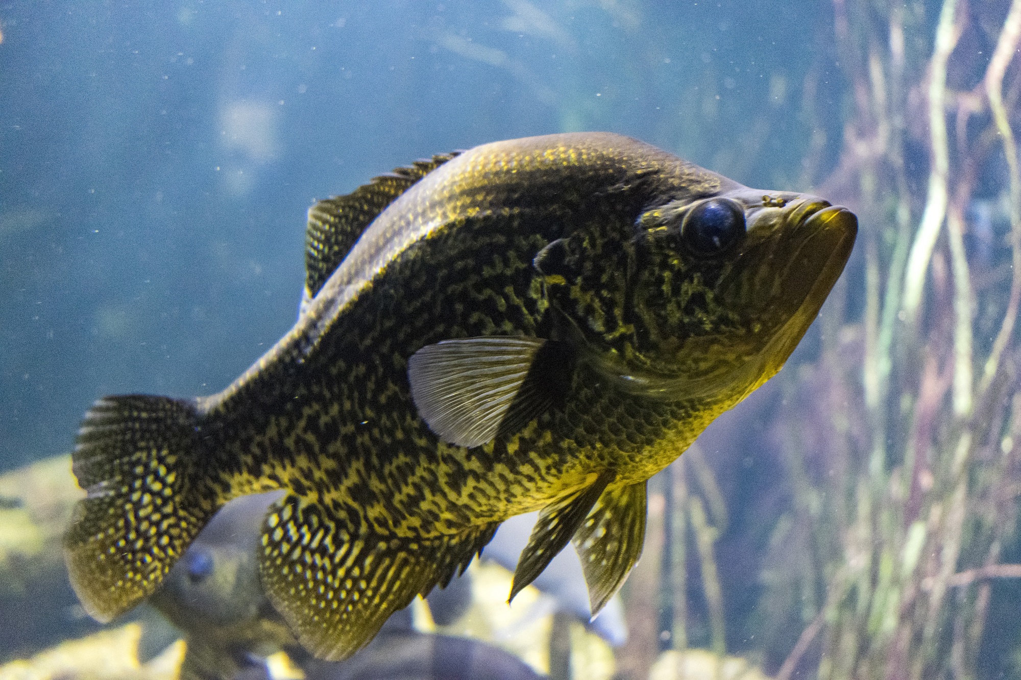 A black crappie is seen in the Tennessee Aquarium. Citizen scientists across the region can now plug their fish findings into a new database. Courtesy Tennessee Aquarium
So you want to be a citizen scientist? There’s a new app for that!
The Tennessee Aquarium Conservation Institute wants to assess the status of various fish populations throughout the Southeast so it released a new app to help outdoor folks and anglers identify the fish they spot, report the sighting, and enter their discoveries into a regional fish database.
The Freshwater Information Network (FIN) accepts and includes data for three major watersheds: The Tennessee and Cumberland rivers, and Mobile Bay.
Tennesseans may be familiar with the two rivers, but may think of Mobile Bay as a distant place with no connection to them, but its headwaters touch Tennessee in the Conasauga River. With its geographic isolation, the Conasauga is home to species of fish found nowhere else in the world.
Our region has more species of fish than any other part of the country, and the open FIN database and application includes information on nearly half the U.S. species of fish. When hikers, boaters or anglers spot a fish, they can participate by first photographing it and then uploading the photograph to the app.